


Voter Turnout: Impact of Rising Mercury on Voter Turnout in May 20 Polls | Bhubaneswar News


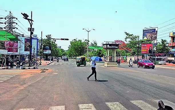
Bhubaneswar: Scorching heat may play a role in the voter turnout on May 20 when five Lok Sabha seats of Bargarh, Sundargarh, Balangir, Kandhamal, Aska and 35 assembly seats under them will go to the polls.
After a break, many places in the state will see a gradual rise in day temperature by 2 to 4 degrees Celsius during the next three-four days from Thursday, said an IMD forecast on Wednesday.Chances of thundershowers will also be slim and restricted to isolated places, the forecast added.
Sanjeev Dwivedi, a scientist at the regional IMD centre, said wind patterns would again support a rise in day temperature in the state and reduce possibility of thunderstorm activities.
The IMD in its separate extended range forecast valid for two weeks from May 20 to 23 said day temperature would very likely be above normal by 2 to 3 degrees Celsius at many places in the state between May 17 and 23.
IMD sources said maximum temperature in western Odisha states like Balangir and Sundargarh may go up to 45 and 43 degrees Celsius on May 20. Temperature in Bargarh may record 42 degrees Celsius on the poll day.
On Thursday, light to moderate rain and thundershowers are likely occur at one or two places over some districts of interior and south coastal Odisha, the IMD forecast said.
The forecast came amid rising day temperature at isolated places in interior parts of the state. Scattered thunderstorms were also reported.
On Wednesday, the maximum temperature at four places was hovering at 40 degrees Celsius and above. Nuapada at 42.2 degrees Celsius recorded the day’s highest temperature in the state. The city recorded a maximum 37.2 degrees celsius.
Similarly, Paralakhemundi recorded 12 mm rainfall during the day in the state amid thunderstorm activities.
On May 7, heavy rain accompanied by gusty winds had lashed Bhubaneswar and Cuttack bringing down the temperature by several notches and providing a much-needed relief from one of the lengthiest hot spells in recent memory.
Apart from the twin cities, thunderstorms also brought down temperatures in Ganjam, Nayagarh, Puri and Gajapati districts.
We also published the following articles recently
Rain brings respite to Rajasthan; thunderstorms likely to continue till May 14: IMD
Jaipur Meteorological Center reported mild to moderate rainfall in Rajasthan due to a western disturbance, with the highest 42 mm recorded in Devgarh, Rajsamand, providing relief from intense heat. Thunderstorm activity is expected until May 14, resulting in decreased maximum temperatures. Various parts of Rajasthan, including Bikaner, experienced dust storms and cloudy conditions.
Jaipur Meteorological Center reported mild to moderate rainfall in Rajasthan due to a western disturbance, with the highest 42 mm recorded in Devgarh, Rajsamand, providing relief from intense heat. Thunderstorm activity is expected until May 14, resulting in decreased maximum temperatures. Various parts of Rajasthan, including Bikaner, experienced dust storms and cloudy conditions.
Mumbai records highest day temperatures in a decade
IMD recorded highest day temperatures in a decade in Mumbai’s Colaba and Santacruz observatories, with a heatwave warning for parts of Mumbai, Thane, and Palghar due to easterly winds, clear skies, and a forecast of light to moderate rains, thunderstorms, gusty winds, and night temperature deviations.
IMD recorded highest day temperatures in a decade in Mumbai’s Colaba and Santacruz observatories, with a heatwave warning for parts of Mumbai, Thane, and Palghar due to easterly winds, clear skies, and a forecast of light to moderate rains, thunderstorms, gusty winds, and night temperature deviations.