


Project to map state’s forest lands in final phase: Officials | Bhubaneswar News


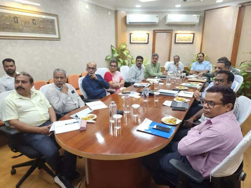
Bhubaneswar: The geo-referencing (mapping) of Odisha’s forest land has entered its final phase, with around 95% of the work already completed, officials said. The project, covering 60,000 sq km of forest land, is being implemented under the guidance of a central empowered committee constituted by the ministry of forests, environment and climate change, following Supreme Court directives.During a high-level review meeting chaired by committee chairman Siddhanta Das on Monday, officials discussed the progress of the project and its implications. The meeting was attended by key stakeholders, including Satyabrata Sahu, additional chief secretary, state forest department, and Suresh Panth, chief principal conservator of forests.“This is a historic initiative that will expedite the state’s development process,” said Das, mentioning Odisha’s implementation as a model for other states to follow. The project aims to streamline forest land management through precise boundary determination, protecting indigenous rights, facilitating community access to non-timber forest products and resolving land disputes.The geo-referencing project addresses a crucial challenge in forest land administration. Under the Forest Conservation Act, 1980, non-forest development activities on forest land require Centre’s approval. The new system will significantly reduce delays in development activities caused by inaccurate records. Subhadarshi Mishra, director of the Spatial Planning and Analysis Research Centre, presented valuable insights during the meeting.