


Monsoon likely to reach state in 2-3 days: IMD | Bhubaneswar News


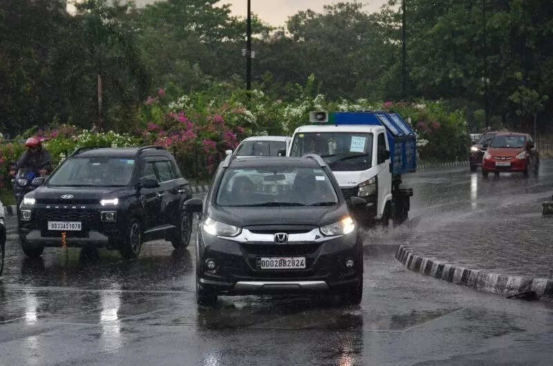
Releasing the updated long-range forecast for southwest monsoon and temperature outlook, Mohapatra said Odisha is also likely to receive above-normal rainfall between June and Sept. Odisha receives 1,150 mm of average rainfall annually.Under the influence of the low-pressure area, which is likely to intensify and move northwards in the next 48 hours, coastal districts including Kendrapada, Jagatsinghpur, Cuttack and Jajpur are expected to get heavy to moderate rainfall in the next two days. Widespread rainfall will continue across the state until June 1, with thunderstorms, lightning and gusty surface winds reaching 50-60 kmph, the IMD bulletin said.Most parts of Odisha recorded moderate to heavy rainfall, with Burla recording 90 mm in the last 24 hours till 8:30 am on Tuesday. Maximum temperature of 37.5 degrees Celsius was recorded in Boudh on Tuesday. Bhubaneswar recorded 32.2C on Tuesday.The special relief commissioner (SRC) has directed all departments and district administrations to remain prepared for any eventuality. Authorities have been asked to keep the administrative machinery on standby and have advised the public to stay informed and take shelter during thunderstorms to avoid lightning-related incidents.Fishermen have been advised not to venture into the sea from May 28 to 31, as squally weather with wind speeds of 30-50 kmph is expected over the central and north Bay of Bengal and along the Odisha coast. Those already out at sea have been instructed to return to the coast by Tuesday night.Farmers in several districts reported damage to standing paddy crops due to heavy rainfall.